
Whatever your project requirements, an up to date, accurate and detailed land or topographical survey will form the basis for your designs and last the lifetime of your build / construction phase. It can be tailored to suit your specific needs, added to and updated through time providing both a record of activities and a solid platform from which setting out can be undertaken.
At Dom Latham Ltd we have over 25 years’ experience in the provision of land and topographical surveys and take pride in the results and style of presentation we are able to provide.
Market Sectors we have undertaken surveys for:
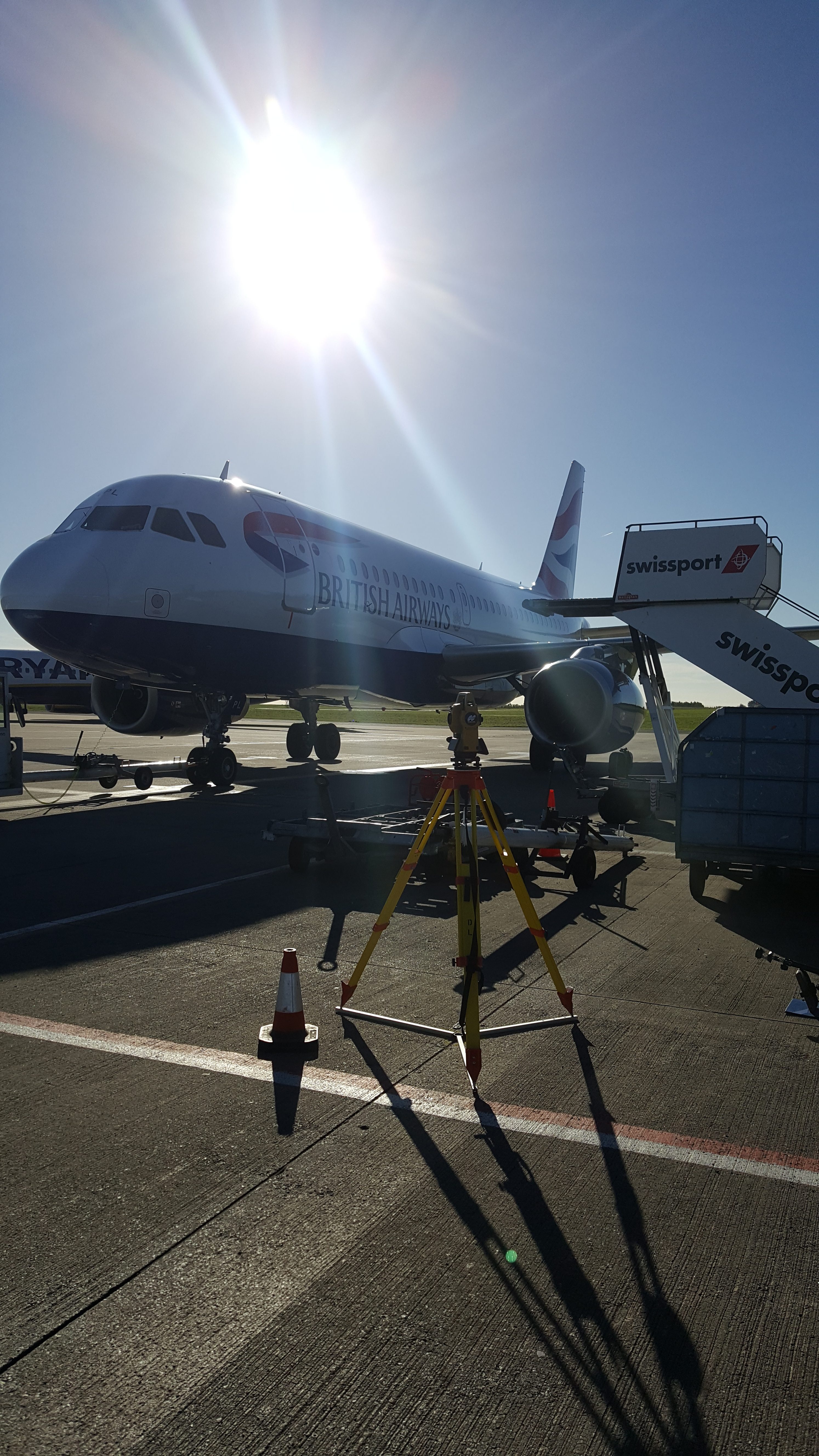
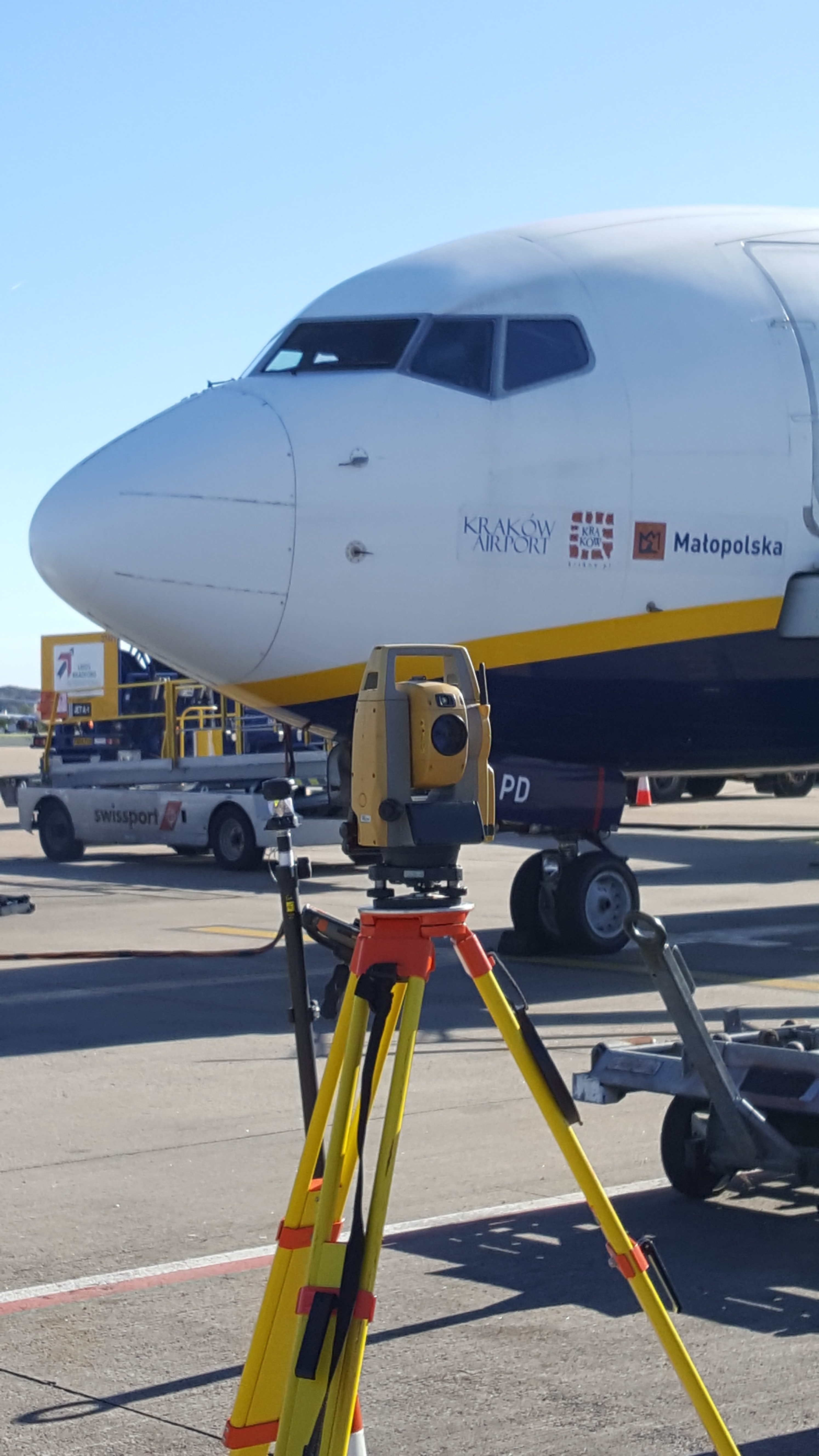
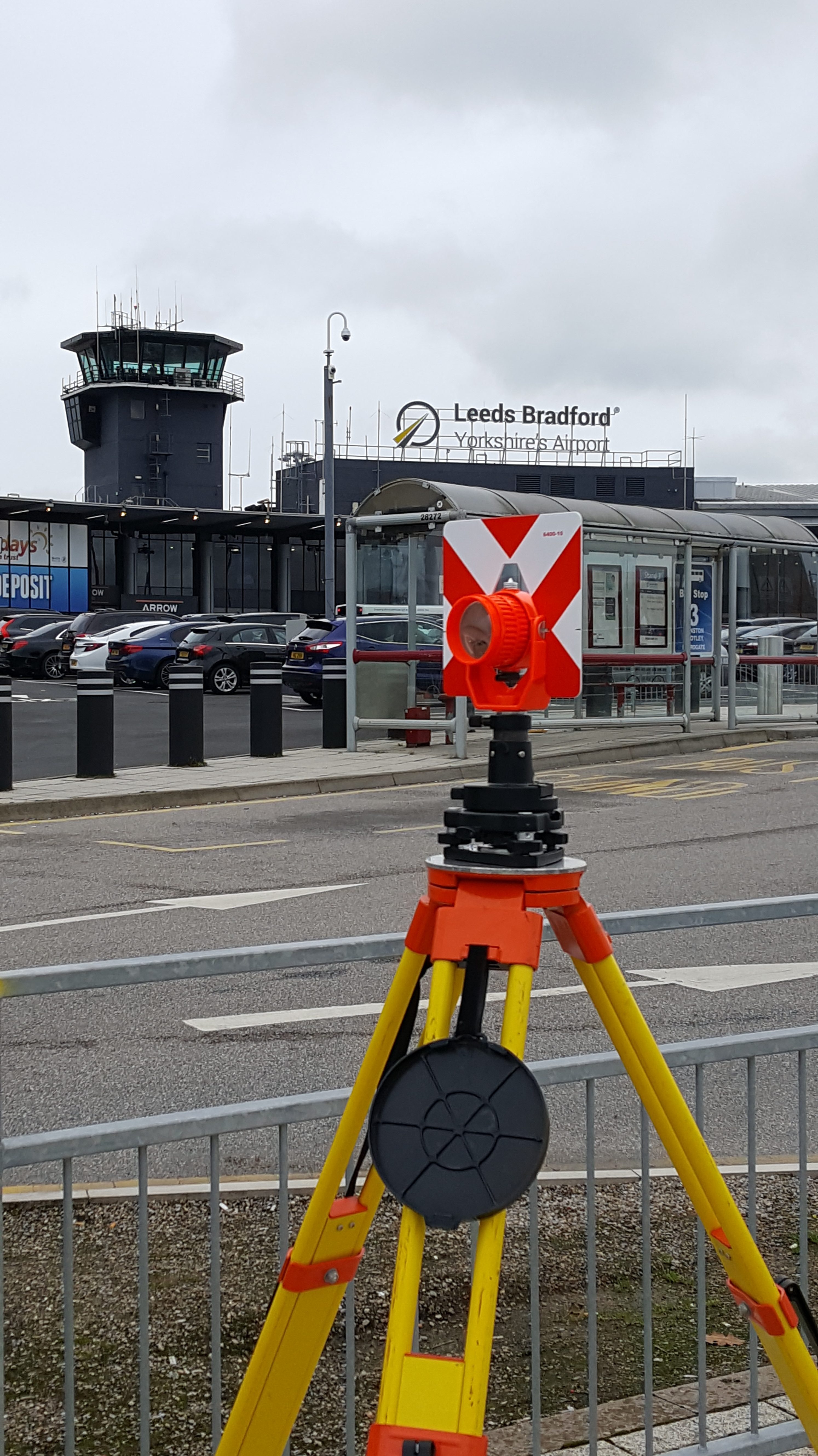
• Agriculture • Archaeology • Ecology • Education • Emergency Services • Fuel & Petrochemical • Geotechnical & Ground Investigation • Government • Highways • Industrial – Light & Heavy • Leisure • Manufacturing • Military • Power Industries • Quarries • Recreational • Residential – New Build & Brown Field Redevelopment • Retail • Service Industries • Transportation – Road / Rail / Aviation / Ports / Docks • Utilities • Water – Waste & Clean / Reservoirs / Rivers / Dams / Structures • Zoology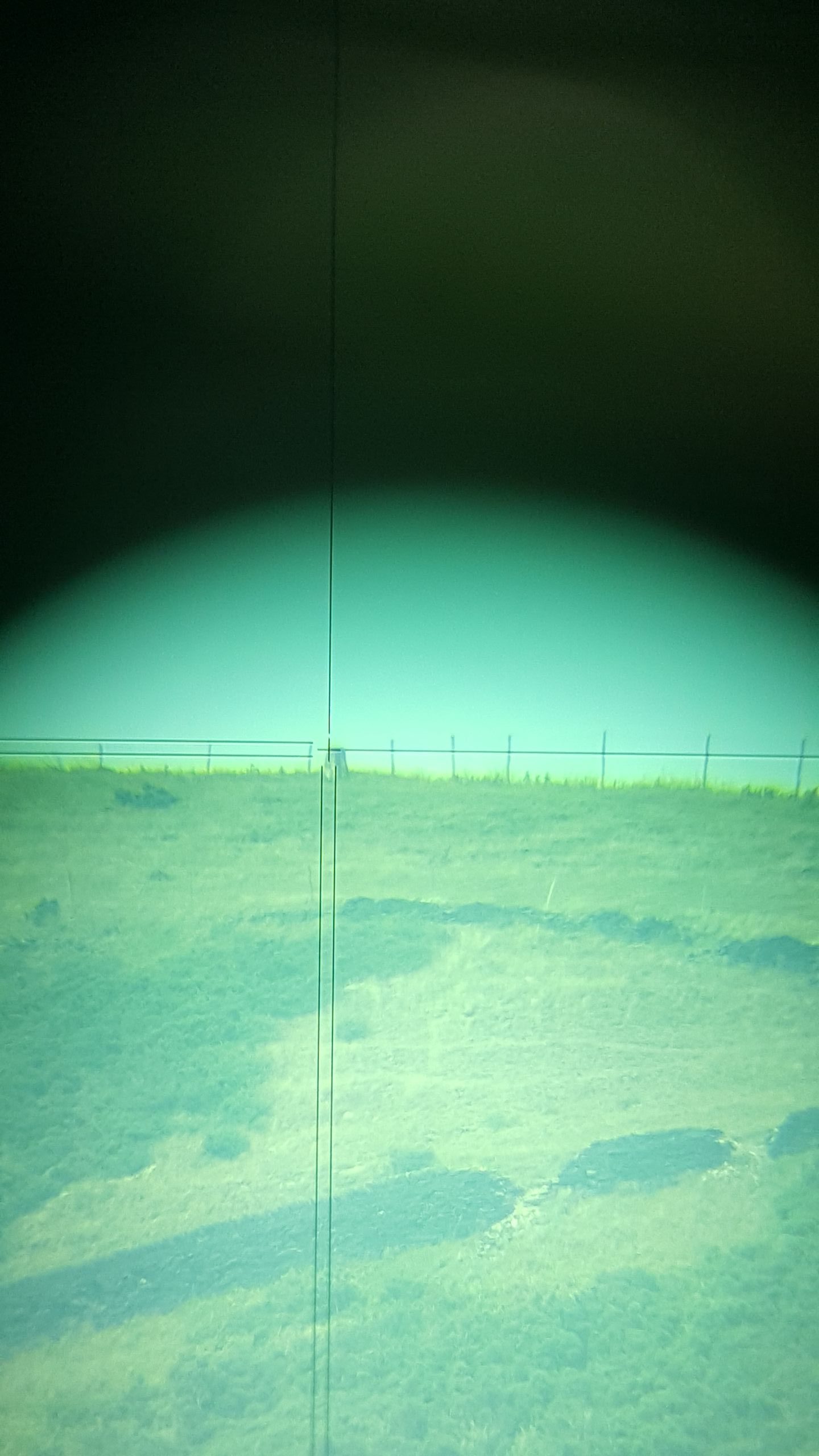

Our land and topographical surveying really is at the core of our business. We can offer the following services:
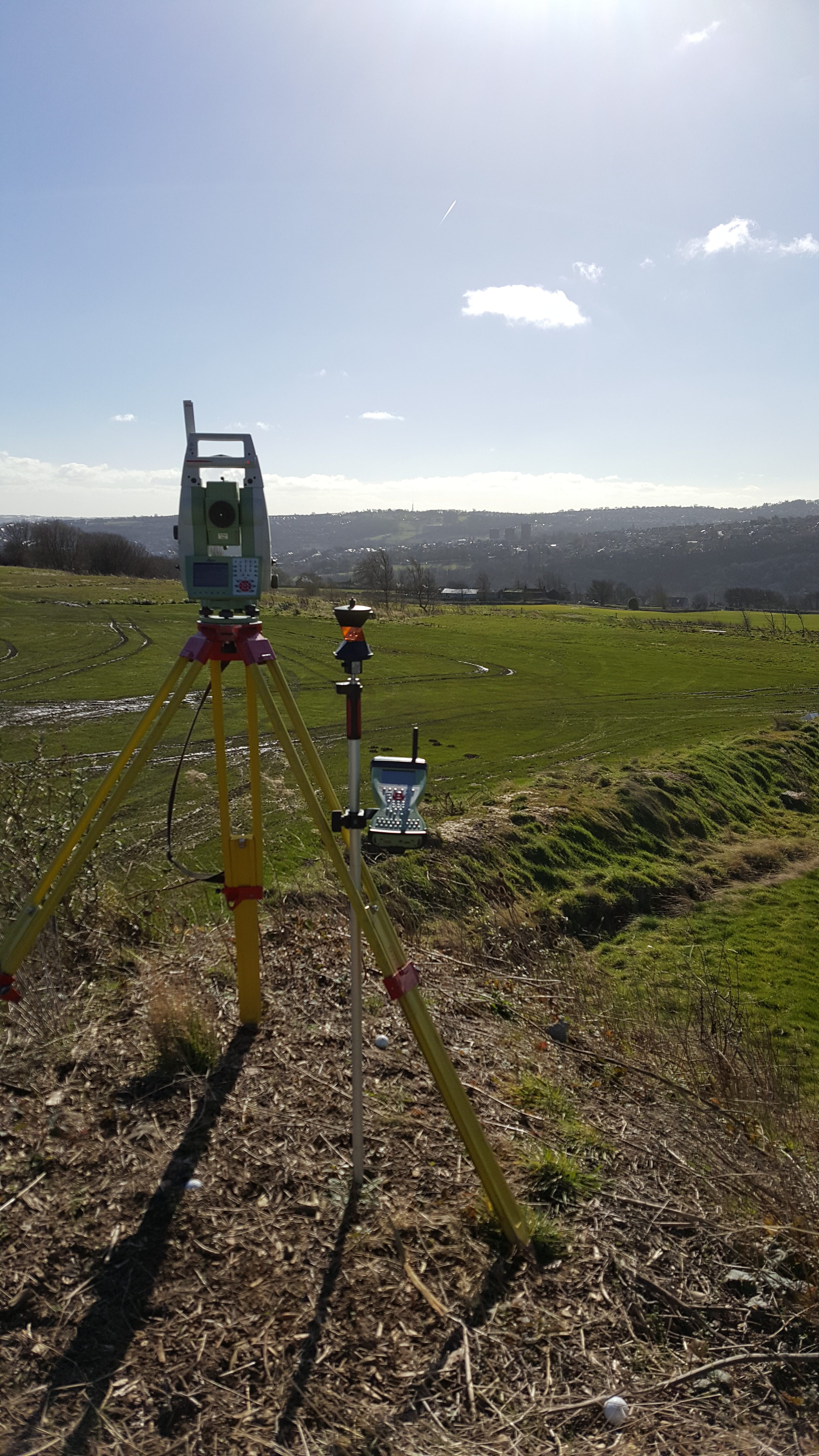
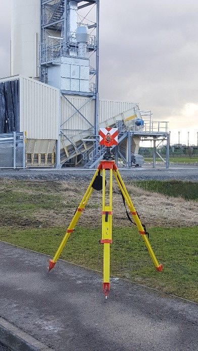
- Provision of high order horizontal and vertical survey control, including permanent markers
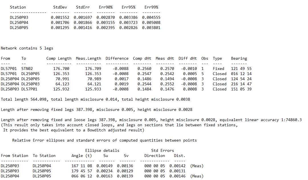
- Survey network analysis and adjustment by least squares techniques
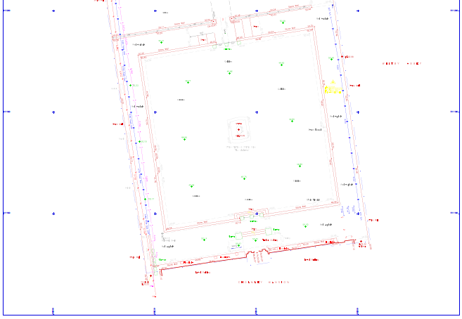
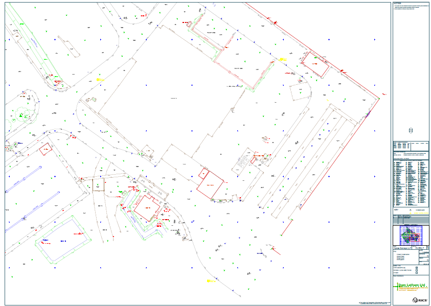
- Horizontal & vertical control network diagrams
- Precise levelling
- Station witness diagrams
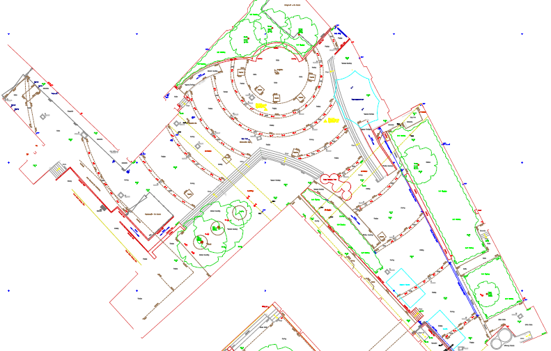
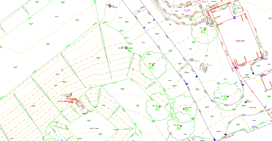
- Large scale land & topographical surveys, typically for 1:50; 1:100; 1:200 scale drawing production in a choice of 2D or 3D formats
- Cross sections / longitudinal sections
- Surveys to a plane local grid & datum, OSGB36 Grid and Datum, ETRS89 or any client specified mapping projection.
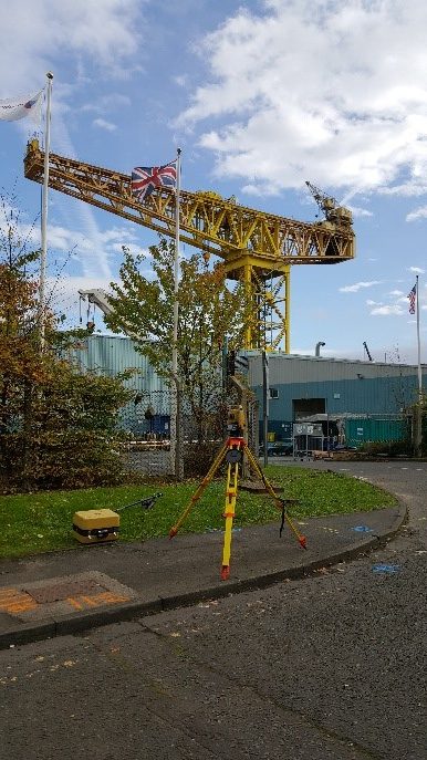
We provide national coverage surveying sites from small individual plots to large scale areas and can draw on a plethora of knowledge to provide surveys tailored exactly to your project requirements.
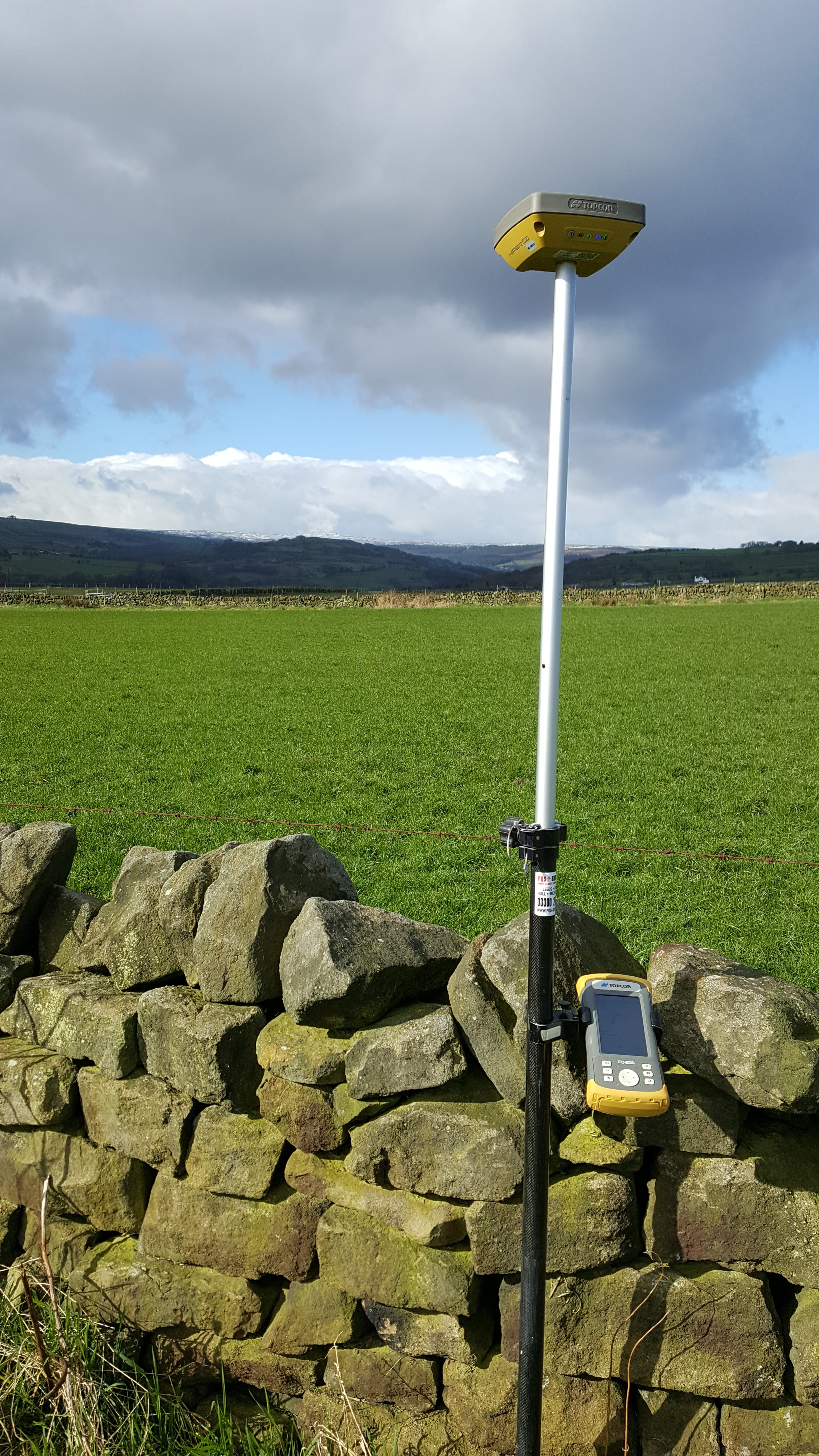
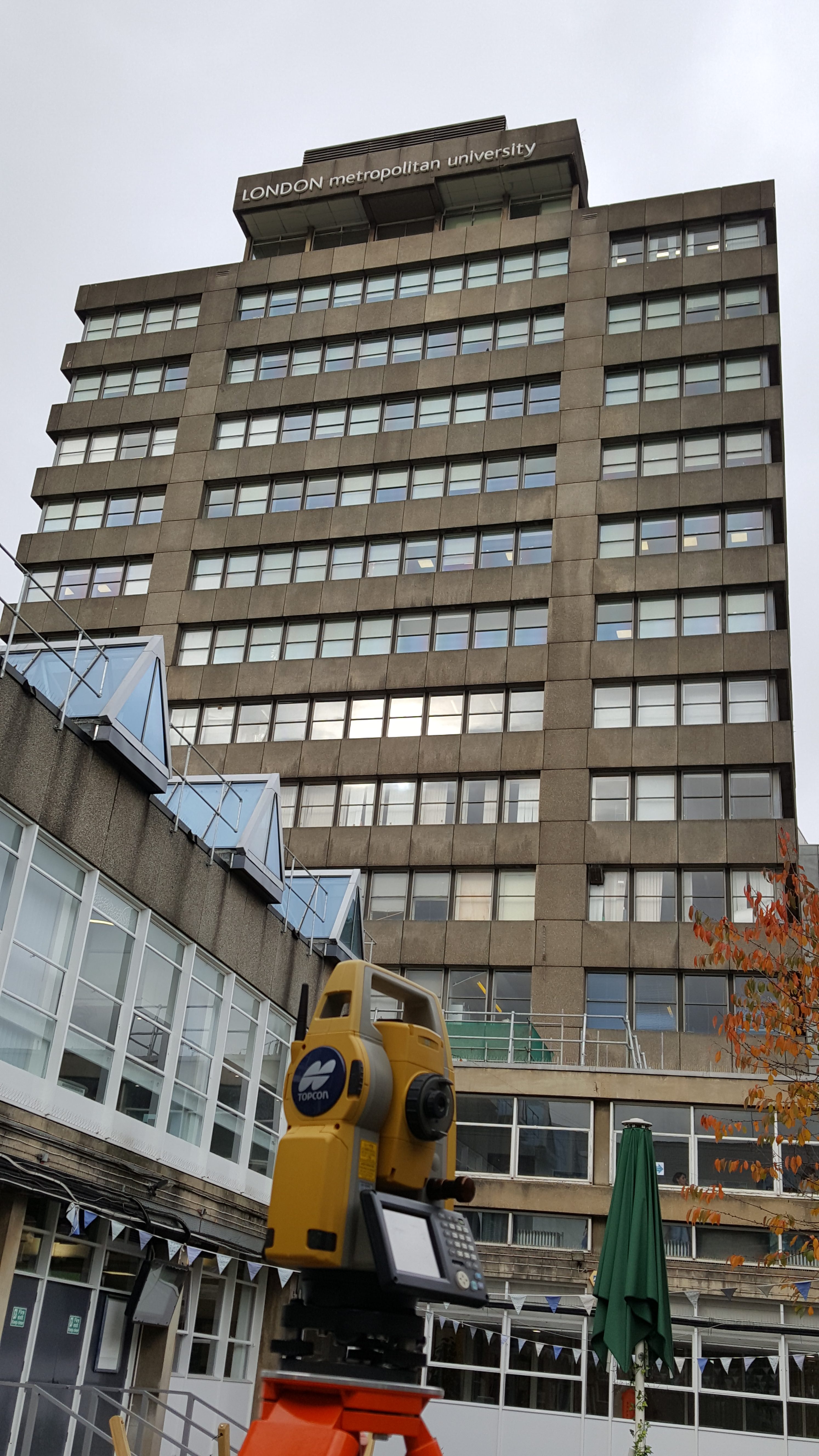
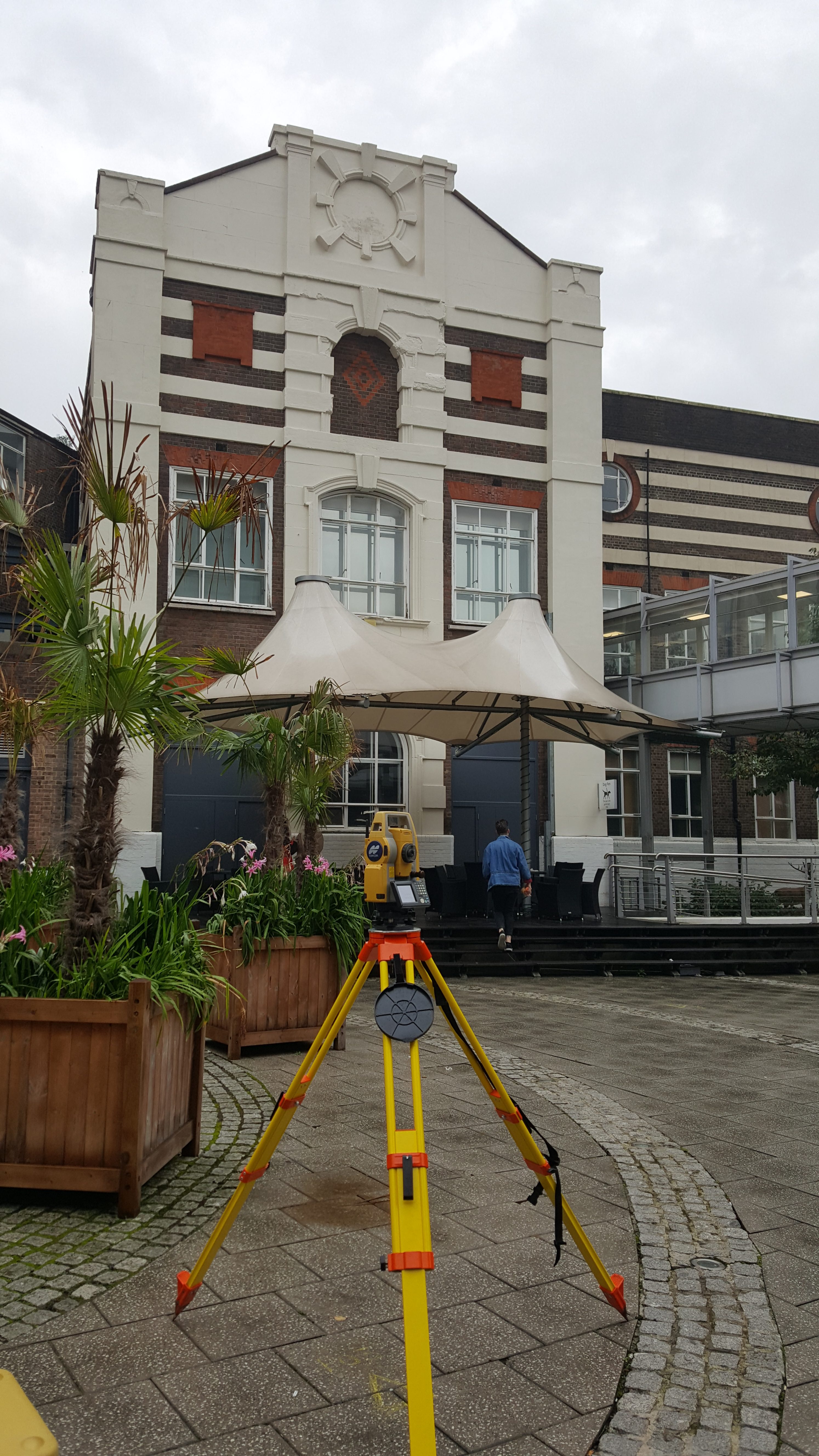
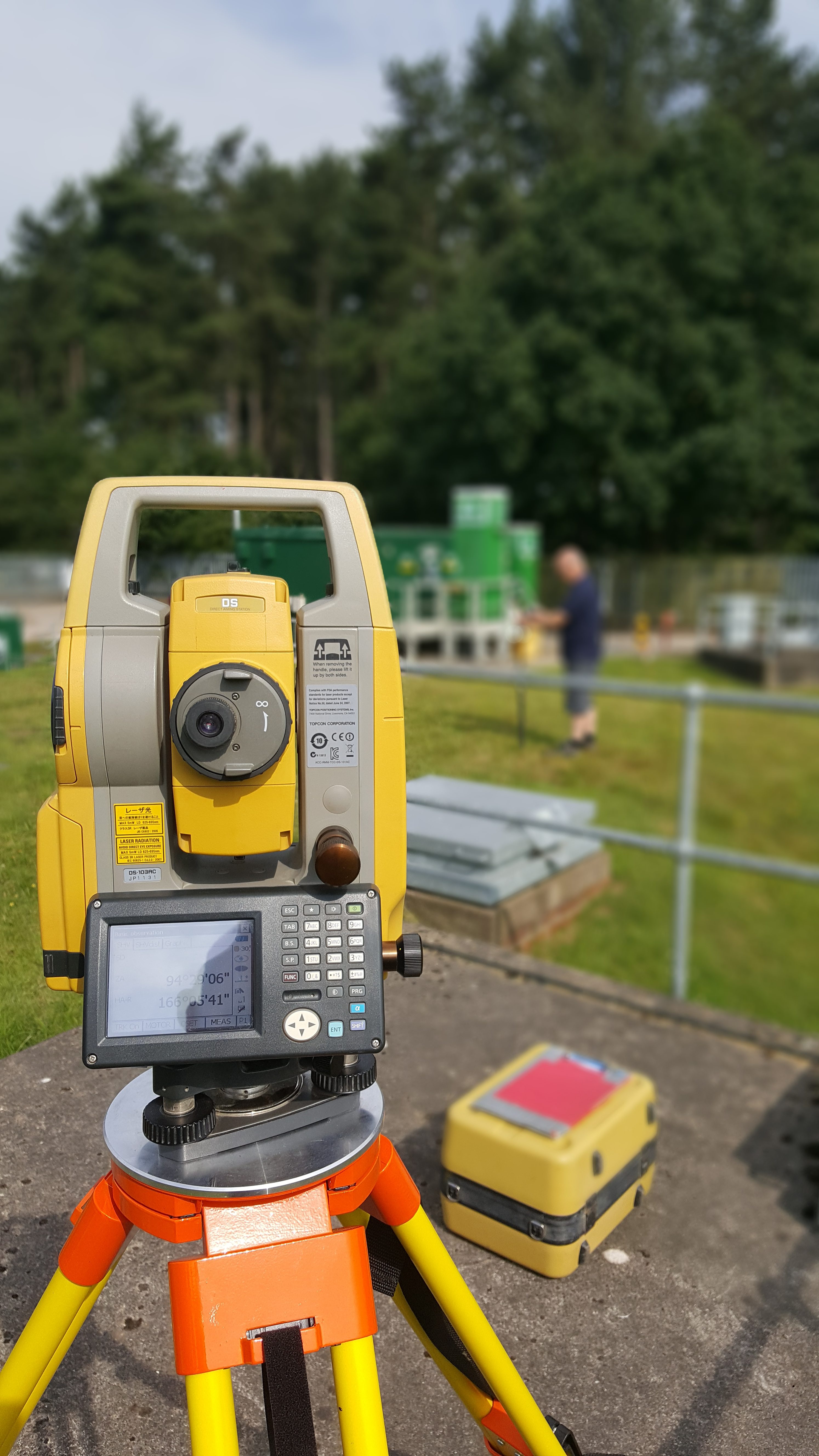
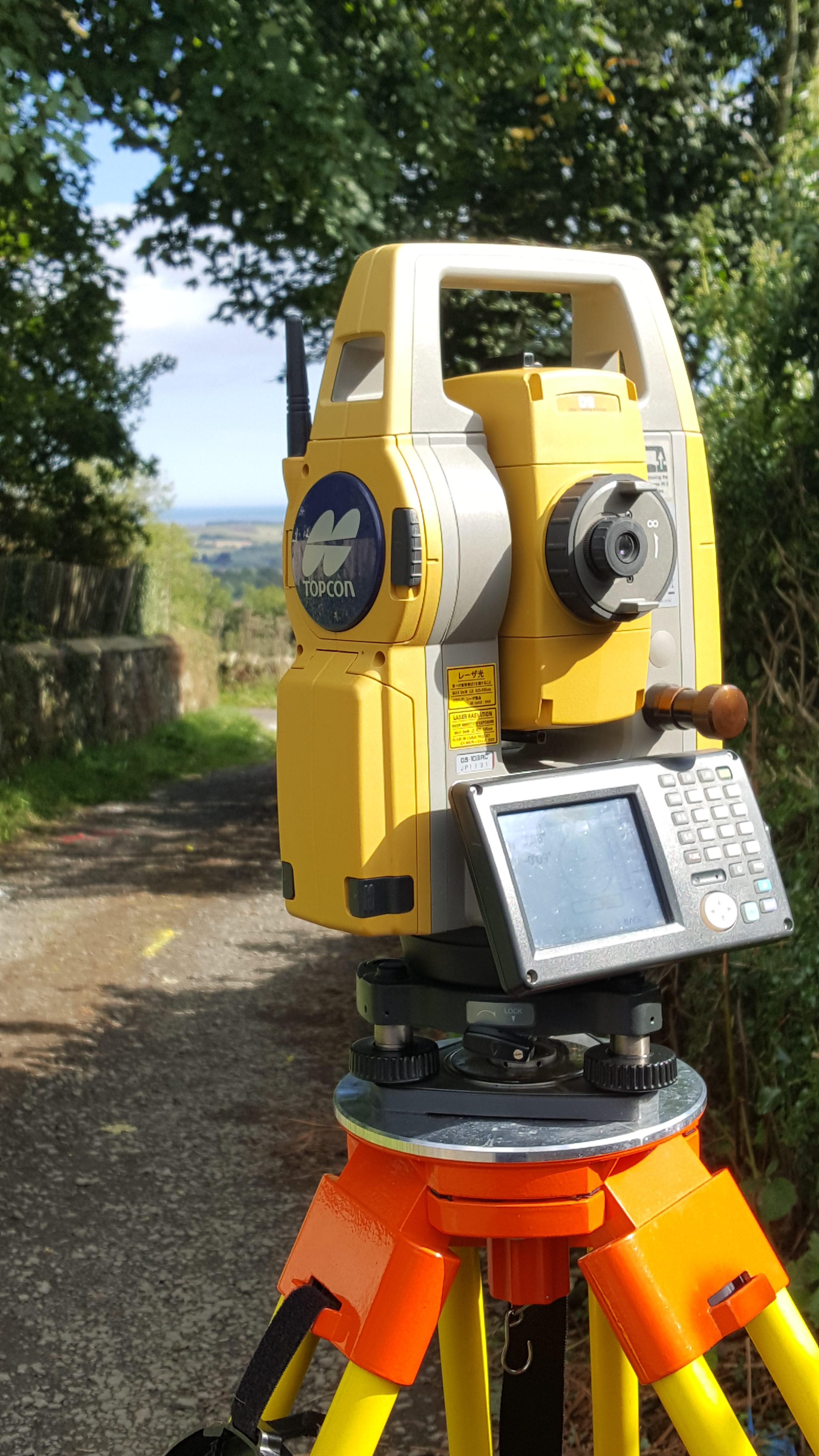
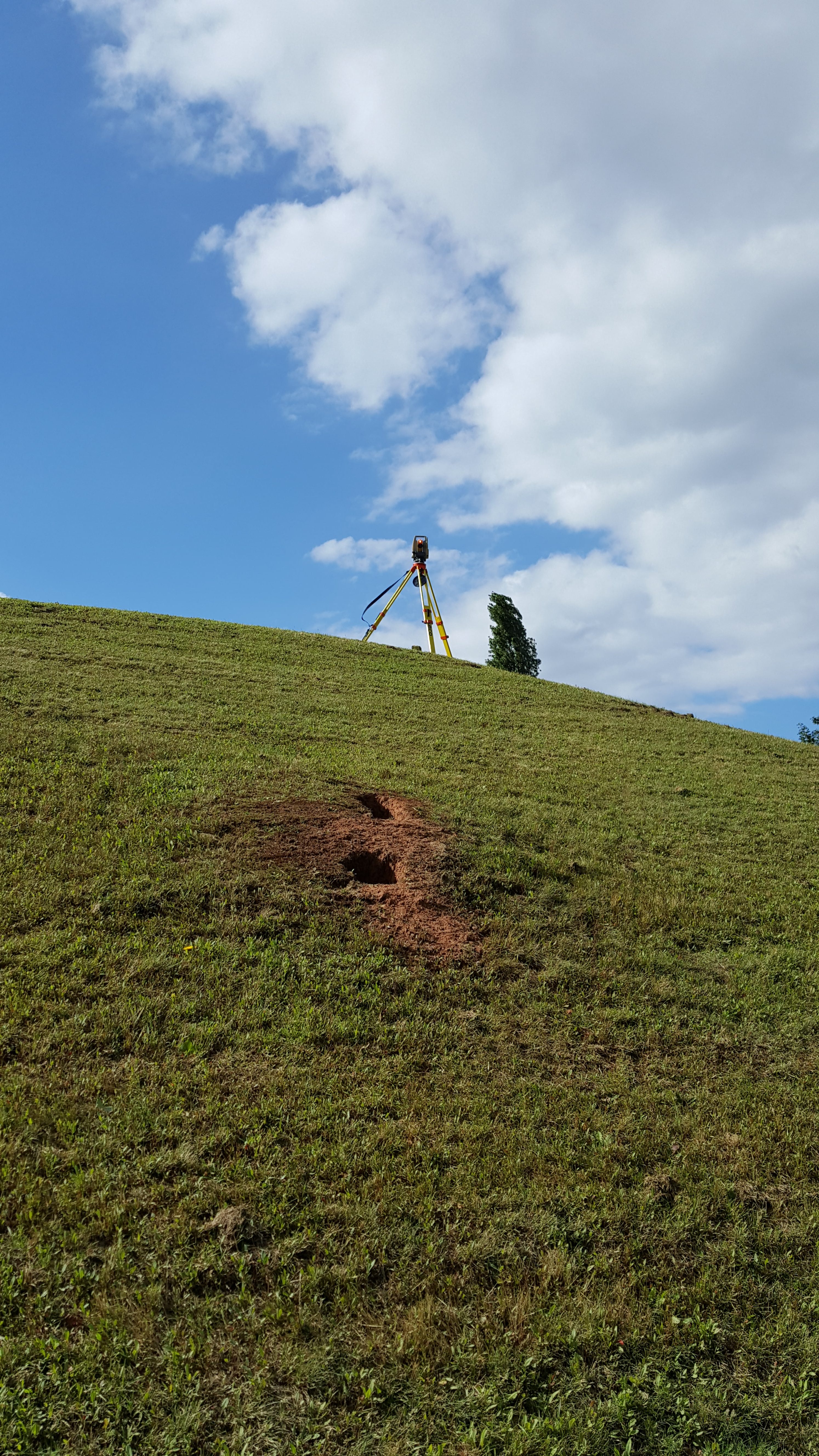
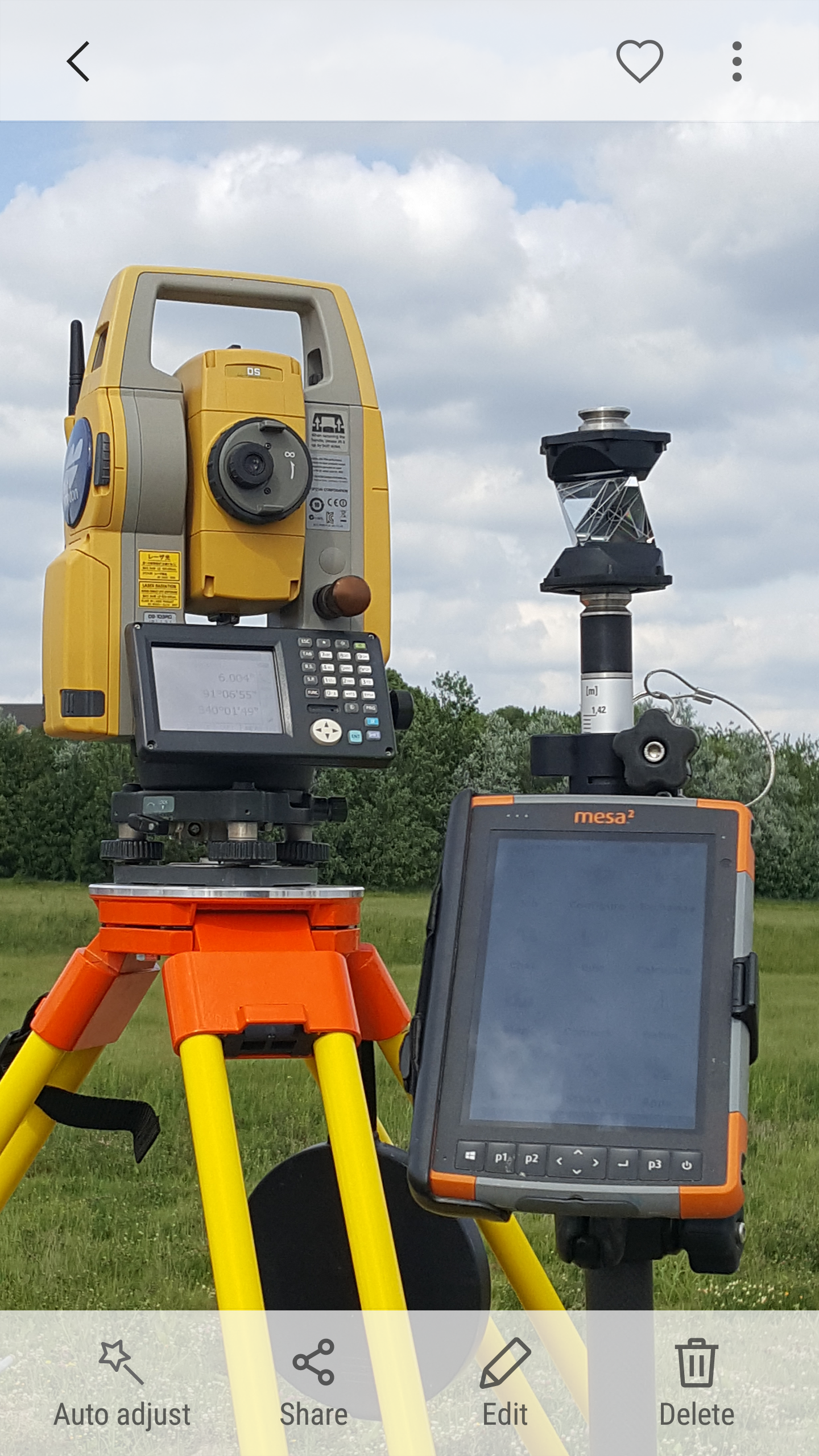
The methodology and techniques used to produce topographical surveys are well documented, but please get in contact should you need to discuss in detail how we undertake this work and the instrumentation we employ. All our surveys are processed using Atlas’ Computers SCC (Survey Control Centre) software, a key supplier to our business and a relationship which we have developed over the last 17 years, yielding effective software customisation depending in project requirements.
Our topographical surveys provide the perfect background for any underground utility mapping survey, whether we undertake this in house as part of a full production package, or if you require this as the basis for your own utility mapping project.
Over the years we have provided bespoke solutions for surveys in many technically challenging environments. We are confident that your project expectations will be met whatever the requirements.
All work is carried out to the RICS professional guidance, global, Measured surveys of land, buildings and utilities 3rd Edition; undertaken to RICS terms and conditions of contract for land surveying services, 3rd Edition (2009). Our land and topographical survey work is fully complemented by our extensive in house measured building and underground utility mapping survey capabilities.